
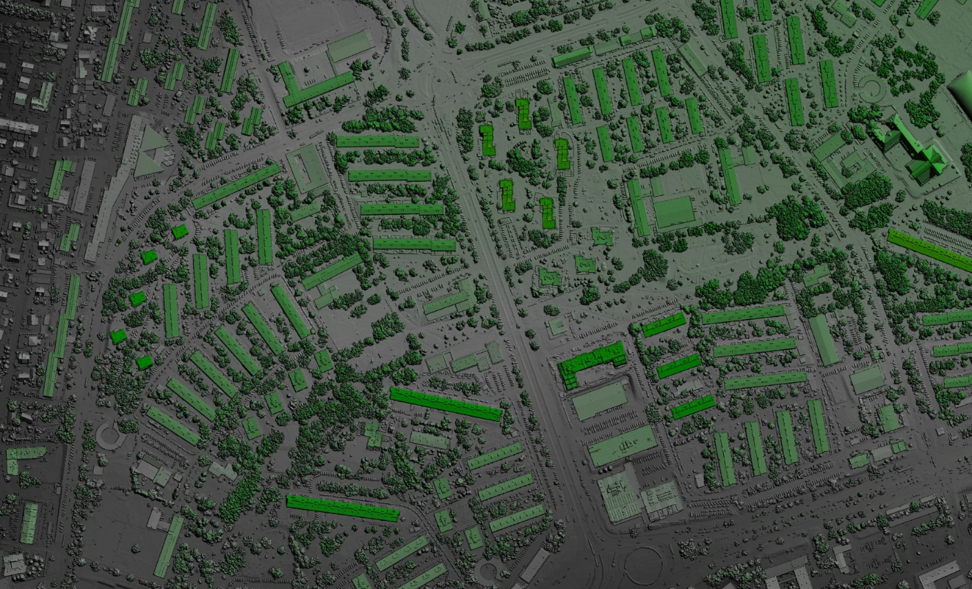
Burkina Faso’s Ministry of Health and Public Hygiene now has a decentralized, structured and harmonized National Health Information System (SNIS) and a Master Facility List, enabling it to produce reliable health statistics and thematic maps to support decision-making. In addition, in the context of vaccination against COVID-19, the Ministry also needs to produce location maps of high population densities, as well as the identification of optimized vaccination sites to reach targets at all levels of the health system.
However, geospatial technologies are little used and mastered by Ministry staff as tools for health research and health information exploitation. To remedy this, the NGO GRID3 (Geo-Referenced Infrastructure and Demographic Data for Development), through the organization Dev-Afrique Development Advisors, has trained 54 health agents from all 13 regions of Burkina Faso in geographic information systems (GIS) applied to health and delivered 19 microplanning maps. As a result, participants are producing national and sub-national maps of health indicators, including the location of health facilities in relation to population distribution, to effectively visualize and communicate health data and ensure better resource management.
In terms of recommendations, the organization of additional training sessions to reinforce the knowledge acquired and the extension and expansion of training to district-level data managers could help to ensure the wider use of geospatial data and tools.

I loved as much as you will receive carried out right here The sketch is tasteful your authored subject matter stylish nonetheless you command get got an edginess over that you wish be delivering the following unwell unquestionably come further formerly again as exactly the same nearly very often inside case you shield this hike
Thank you for your sharing. I am worried that I lack creative ideas. It is your article that makes me full of hope. Thank you. But, I have a question, can you help me?
I loved as much as youll receive carried out right here The sketch is tasteful your authored material stylish nonetheless you command get bought an nervousness over that you wish be delivering the following unwell unquestionably come more formerly again since exactly the same nearly a lot often inside case you shield this hike
I do not even know how I ended up here but I thought this post was great I do not know who you are but certainly youre going to a famous blogger if you are not already Cheers