SERVICE
Geospatial Data Interventions

Mapping and utilizing advanced geospatial data, models and tools to shape program design and implementation from national governments to local communities.
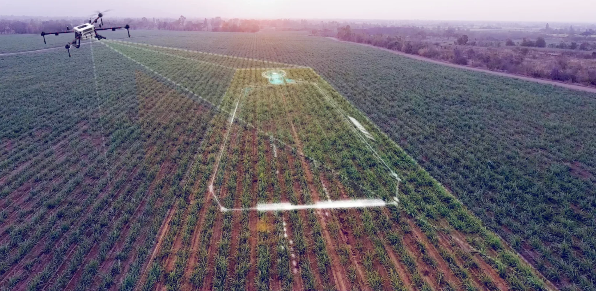
In a rapidly evolving world, geographic information is more than just coordinates on a map; it’s a powerful tool for informed decision-making. Dev-Afrique’s Geospatial Data services empower organizations and initiatives to harness the full potential of location-based insights.
We specialize in mapping and utilizing geospatial data and tools to inform program development and deployment. Whether you’re navigating urban planning, optimizing resource allocation, or tracking the impact of healthcare interventions, our geospatial expertise provides the clarity you need.
At Dev-Afrique, we don’t just create maps; we craft narratives that reveal actionable insights. Our team combines data science, remote sensing, and geographic information systems (GIS) to transform raw data into meaningful visualizations that drive change.
Join us in mapping the path to informed decisions and discover how geospatial data can revolutionize the way you approach your projects and initiatives.

Dev-Afrique Development Advisors is a social-impact organization of strategy and development professionals committed to solving complex challenges on the African continent. With networks across African countries, we provide high-level advisory and develop unique strategies for non-profit organizations and
start-ups in emerging and frontier markets in Africa.
Connect
Contact us
- contact@dev.africa
- www.dev.africa
© 2021 Dev-Afrique All Rights Reserved
Locations: HQ – Nigeria / DRC / Ethiopia / Ghana / Kenya / Rwanda / Zambia / Sierre-Leone / Burkina- Faso

