admin

admin

RAMP: Replicable AI for Microplanning
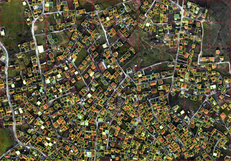
Representation is crucial for being seen and accounted for by governments, businesses, and inter governmental agencies. It takes many forms, and being represented on a map is one of the most effective  ways to accurately delineate voting districts, disaster management,…

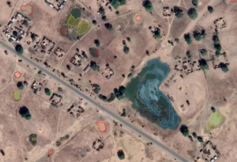
Guinea Worm Eradication Using Geospatial Technology

Guinea worm is a parasitic infection that affects people living in rural areas with limited access to clean  drinking water. Various organizations have been working tirelessly to eradicate the disease. Their program  focuses on educating communities about the importance of…

Looking beyond geospatial data.

Burkina Faso’s Ministry of Health and Public Hygiene now has a decentralized, structured and harmonized National Health Information System (SNIS) and a Master Facility List, enabling it to produce reliable health statistics and thematic maps to support decision-making. In addition,…